Navigation and Route Finding
We left the Paradise parking lot at 5am and ascended the Skyline Trail to the Panarama Point of interest. From there we would Navigate off trail, Northwest, across the Nisqually Glacier to the Wilson Glacier.


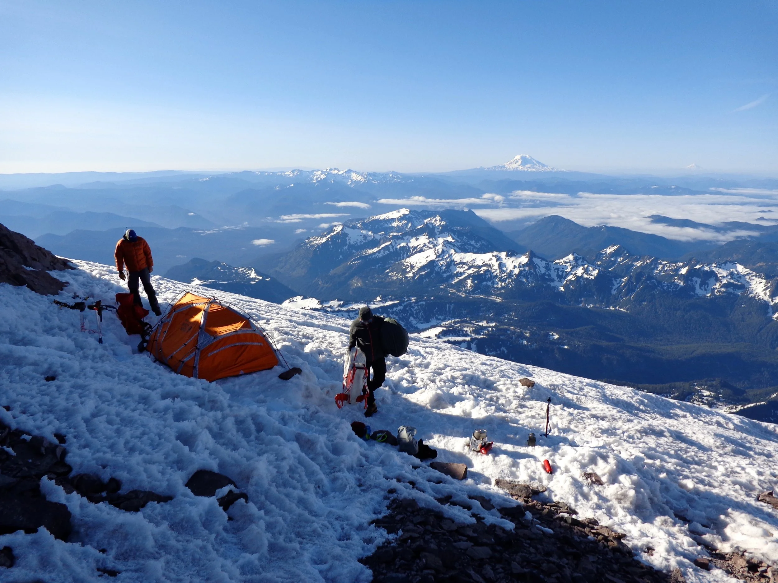
Day 1 Slideshow. We Left the Paradise parking lot. We Crossed both the Nisqually and Wilson Glaciers headed Northwest on our way to the Turtle Snowfield.
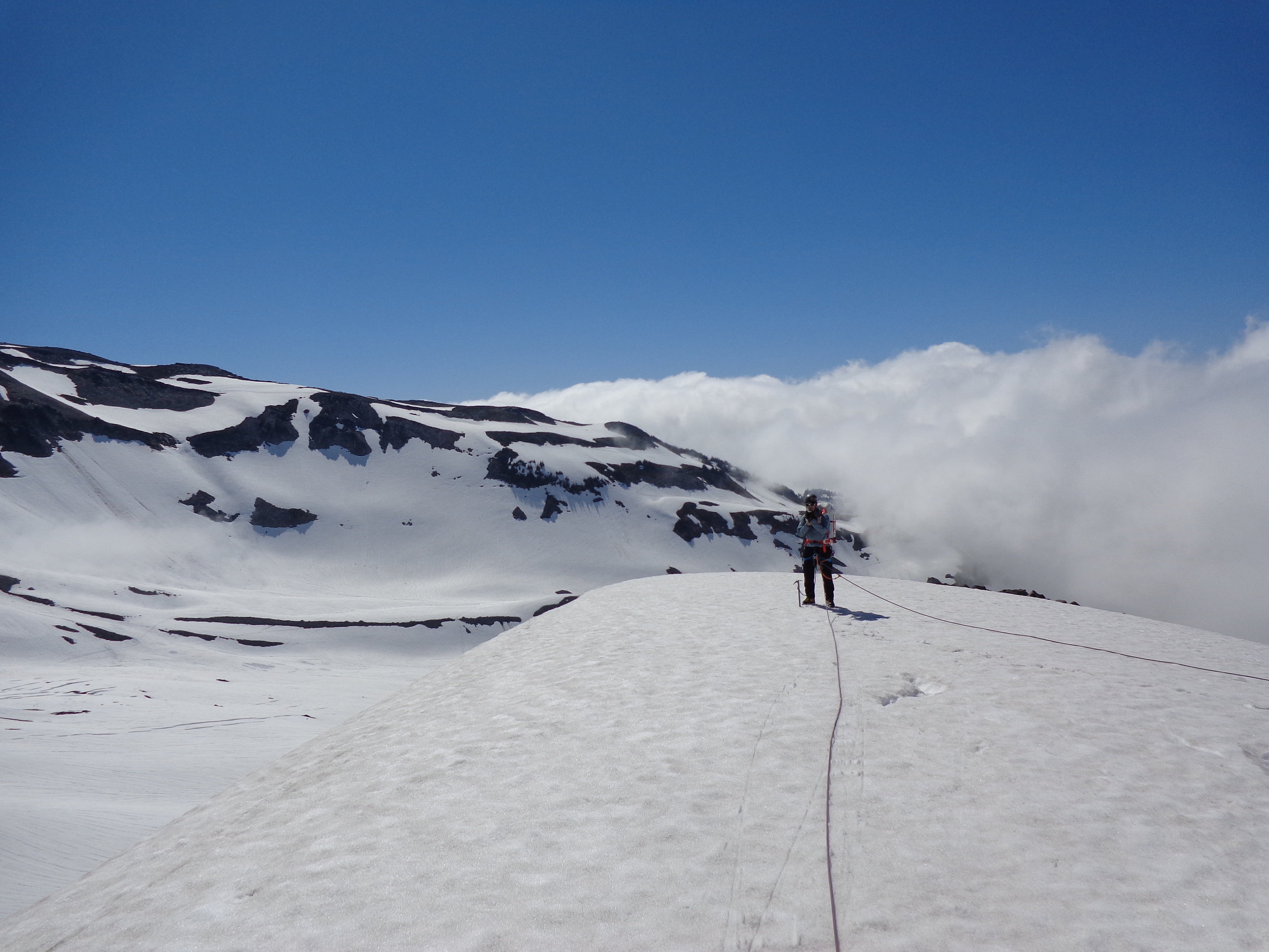
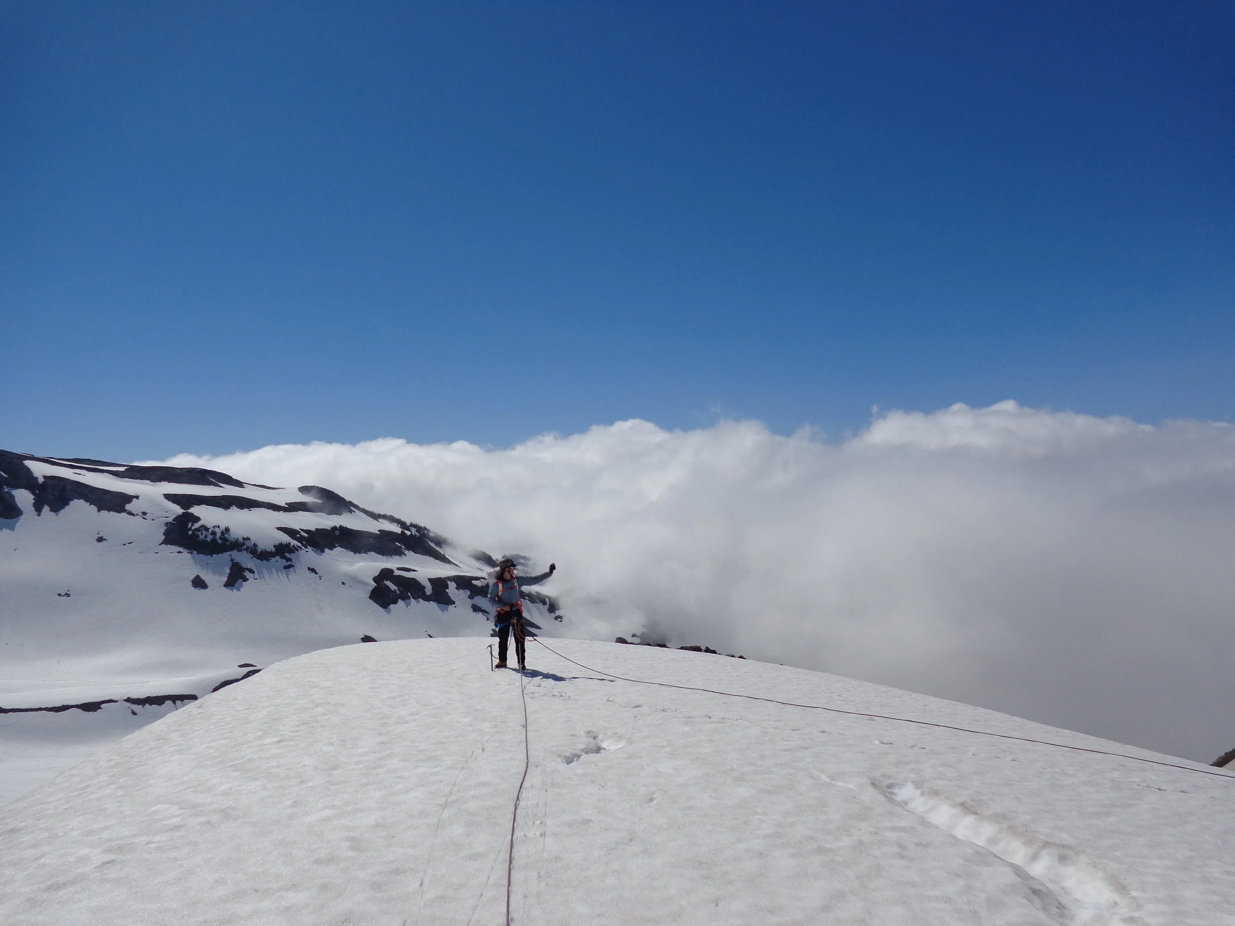
At the Panorama Point overlook, where we knew the rest of our trip we'd be navigating "off trail," we pulled out the map and reviewed our route before descending into the morning cloud that settled in the valley below the Nisqually Glacier. It was honestly at this point that I realized that "White out conditions" could mean something other than densely blowing snow. It could also mean you were walking into a thick morning cloud. Either way, you're navigation skills better be on point. We had brought 2 different maps of the area, each person had a compass and I also had a handheld GPS unit.
The Paradise Ranger station and most of the mountain we were heading up was on the south side. Our planned route would take us North and West across the Nisqually and Wilson Glaciers, then we would turn almost due north to begin our ascent towards the Turtle snowfield, which was our first camp for the night. Day two was what we anticipated to be our steepest and most technical day on the southwest facing Kautz Glacier. After completing the Kautz, our plan was to continue onto he summit and sleep in the crater that night (June 29th). Day three we'd decend to camp Muir, and day 4 we'd head back down to the parking lot.
What actually happened was Day 2, after ascending Kautz and crossing above the Wilson headwall toward the summit, we ended up camping just at 13,000ft, South of and about 1,000 feet below Point Success. Day 3 we moved northeast across the top of the Nisqually Glacier towards the south side of the rim of the volcano. We would cross into the crater, loop up to the summit, back through the crater and down the Disappointment Cleaver route towards Camp Muir, crossing over the Ingram Glacier, also known as the Ingram Flats, on our way down.
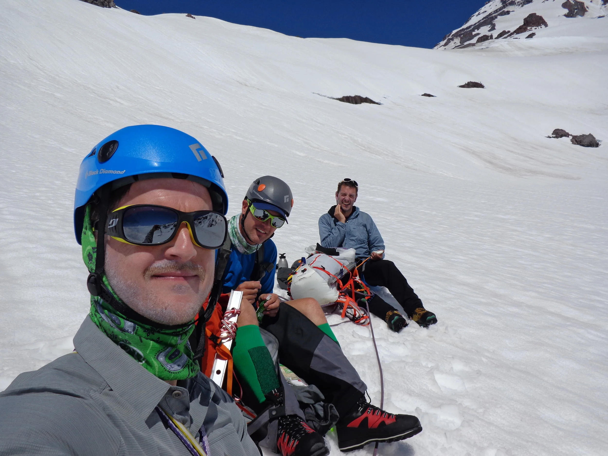
The first day had kicked our butts...
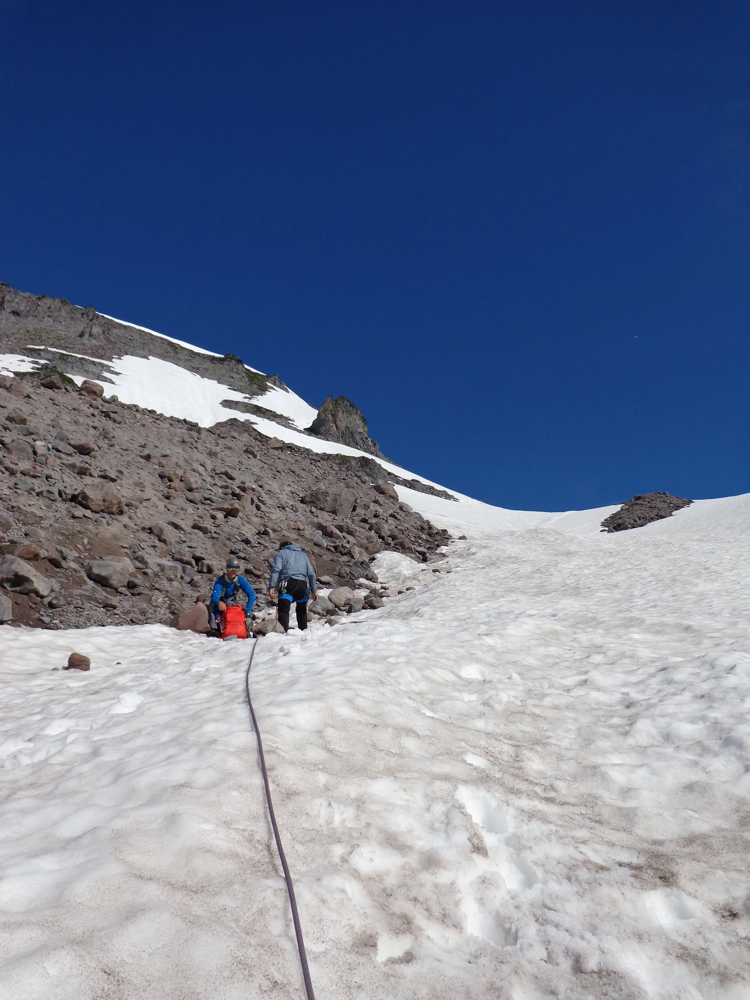
June 28th. I began to notice the altitude negatively affecting Toby at just above 8500ft. The slope just below that was the steepest we'd seen and it was evident that we were working hard. Each of us, just since that morning had gone through at least 3 liters of water and were repacking our bottles with snow in hopes that it would melt before our next stop. Something to keep in mind about snow travel and water; having this ready supply of water in snow form all around you can be a double edge sword. In cases of both high altitude and very cold temperatures (considering you can get the snow to melt sufficiently to drink anyway), using snow to drink can actually be a bad move. If you eat snow or you attempt to drink very cold water from partially melted snow, it can actually have a dehydrating affect. In order to use the water to hydrate, your body has to burn energy to heat up the water. If it's too cold, your body will have to use too much energy to warm it up, and the potential hydration from the snow won't be enough to sustain the energy it takes to heat the water up inside your body in the first place.
9500 and then 10500 feet came and I began to count steps to pace and motivate the team behind me. I would count 30 steps and then we'd rest inline. I knew some kind of system would keep us focused on climbing, and we would need that to make our first goal of the trip - 11,500ish feet, where we would camp the first night. If you look back at the Itinerary you'll noticed that I had planned for us to reach our first goal at 1pm. We in fact reached our first camp site after 5pm. Where i had planned for our first day to take us 7hrs, it actually took us almost twice that.

Overall Route Map of our trip.

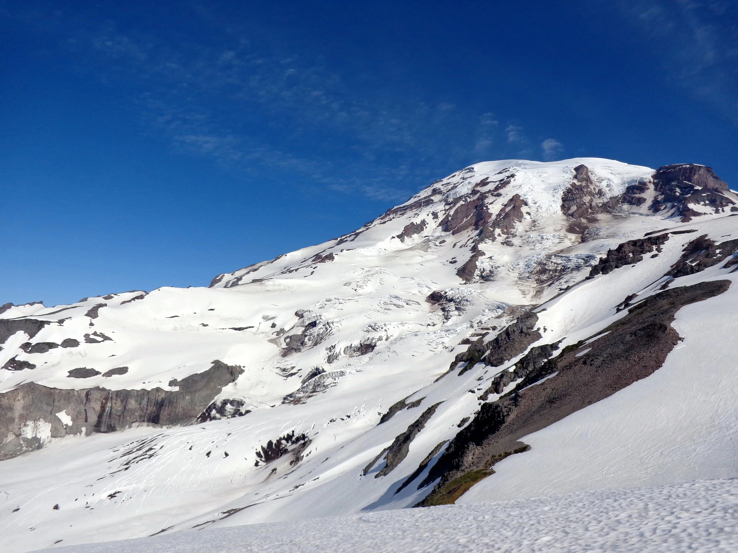
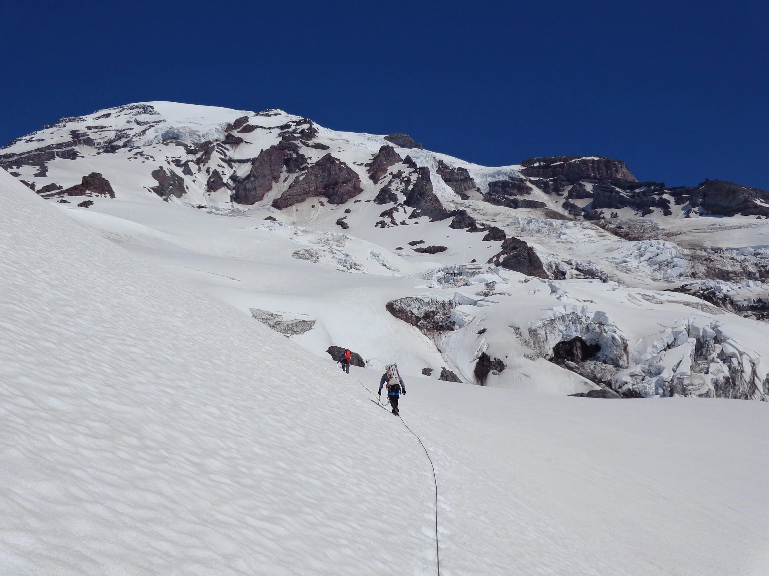
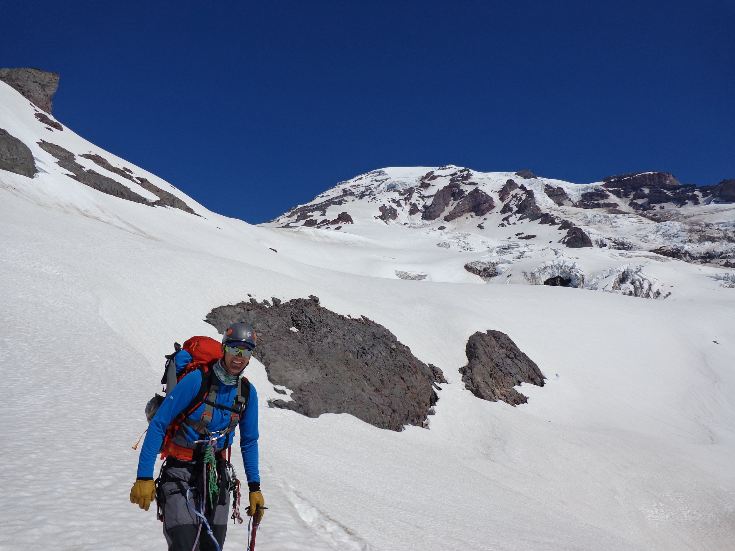
A view of Mount Rainier from Panorama Point on the south side of the mountain at an elevation of ~6800 ft. The Summit of Rainier stands at 14,411 feet.